#ClimateChange: #NASA Launches Satellite, #SWOT, for Mapping the World’s #Water Resources
#SWOT will be the first to observe nearly all water on Earth’s surface.
- SWOT will be the first to observe nearly all water on Earth’s surface.
Islamabad: Amid rising #watercrisis around from California to Karachi, USA’s apace agency NASA is launching an international satellite mission, #SWOT from California on Thursday, with the goal of mapping the world’s water resources like never before.

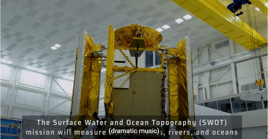
Led by NASA, the mission called Surface Water and Ocean Topography (SWOT) is expected to boost scientists’ understanding of how sea level rise will affect coastlines around the world and the people who live near them.
SWOT will be the first to observe nearly all water on Earth’s surface, According NASA sources.
This remarkable science initiative is accomplished by hard work and passion of scientists and engineers NASA and CNES, with contributions from the CSA and the UK Space Agency.
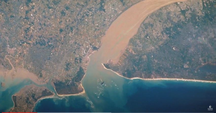
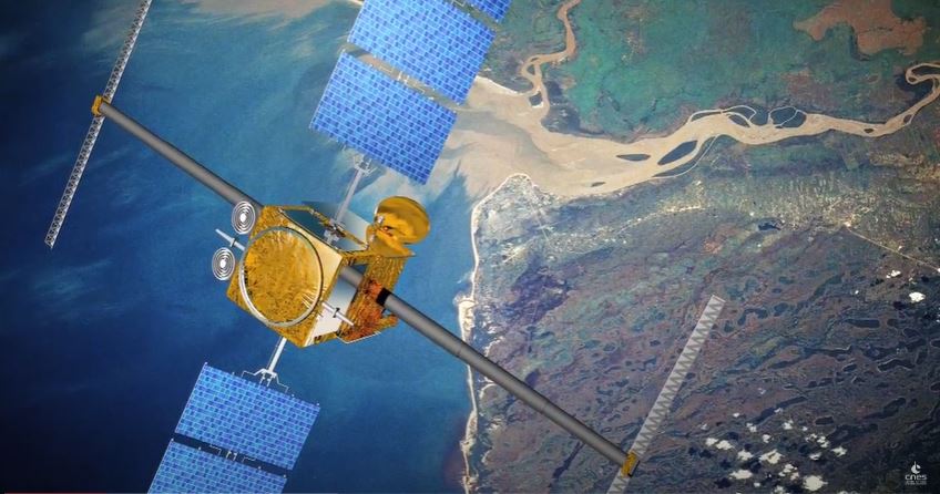
SWOT will be the first to observe nearly all water on Earth’s surface and conduct a comprehensive survey of the planet’s oceans, lakes and rivers for the first time, according to NASA.

Also, SWOT aims to give researchers a detailed window into the resource that covers 70 percent of the planet and will shed light on the mechanics and impacts of climate change.
One specific application of the satellite involves better understanding the role of carbon dioxide in climate change, NASA chief scientist Katherine Calvin said at a press briefing, covered by Space.com.
SWOT will be launched aboard a Falcon 9 rocket, owned by Elon Musk’s company, SpaceX.
NASA sources told media that the satellite’s development took 20 years. SWOT is designed by NASA’s Jet Propulsion Laboratory, in collaboration with French and Canadian partners.
NASA Sources said “More than a machine, SWOT is the culmination of years of work by a global team of engineers, scientists, a hydrologist, and technicians committed to improving our understanding of our home planet.
NASA will provide coverage of the upcoming prelaunch and launch activities for the international Surface Water and Ocean Topography (SWOT) mission.
The mission is targeted for liftoff at 6:46 a.m. EST (3:46 a.m. PST) Thursday, Dec. 15, on a SpaceX Falcon 9 rocket from Space Launch Complex 4-East at Vandenberg Space Force Base in California.
Live launch coverage will begin at 6 a.m. EST (3 a.m. PST) on NASA Television, YouTube, Twitter, the NASA app, and the agency’s website.

Viewers can Watch LIVE coverage on the agency’s website at:
By: M.A.


